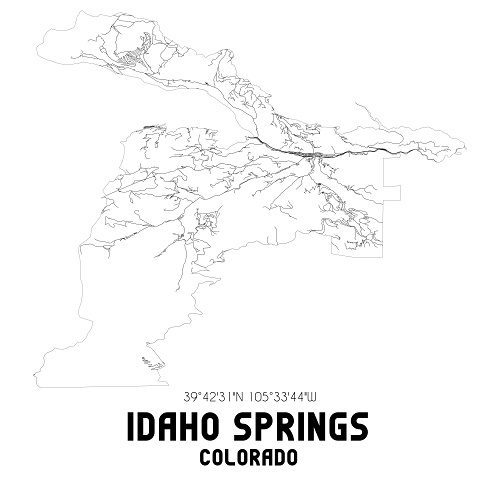
Clear Creek Surveying is a team of experienced surveyors who specialize in creating annexation maps for local cities and towns. Our maps are designed to help these municipalities expand their boundaries and incorporate adjacent land or territory.
Accurate and Detailed Maps
Our maps are accurate and detailed, clearly illustrating the area being annexed, including boundary lines and any relevant landmarks or features. We can even indicate the zoning or land-use designations for the area. This level of detail ensures that our maps are useful for legal and administrative purposes.
Informing the Public
Our annexation maps can also be used to inform the public about changes to local jurisdictions. If you need to understand how your property or community will be affected by annexation, our team can create a map that helps you visualize the changes.
Get in Touch
If you need an annexation map, just give us a call, and we’ll be happy to assist you. We’re dedicated to providing accurate and detailed maps that help our clients better understand annexation and its impact.

